Severe flooding as tropical storm Rafael passes through Jamaica
The 18th named storm of the Atlantic hurricane season is intensifying as of Tuesday morning, having developed in the Caribbean region. Tropical Storm Rafael is projected to steadily, if not rapidly, increase in strength as it progresses past the western coast of Jamaica, heading towards Cuba, where it is anticipated to make landfall later in the week as a hurricane.
A hurricane warning is currently in place for the Cayman Islands, while a hurricane watch has been issued for certain areas of Cuba, as Rafael continues its northwest trajectory. Additionally, a tropical storm warning is active for Jamaica.
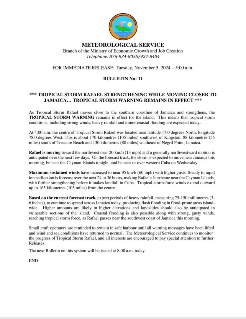
The U.S. National Hurricane Center in Miami issued an advisory early Tuesday indicating that the system is expected to approach the northwestern region of Cuba around the expected time of it attaining hurricane status.
The government of Jamaica indicates that Tropical Storm Rafael moves close to the southern coastline of Jamaica and strengthens, the TROPICAL STORM WARNING remains in effect for the island. This means that tropical storm conditions, including strong winds, heavy rainfall and minor coastal flooding are expected today.
Areas of Manchester have been severely flooded. Please exercise caution while traveling.
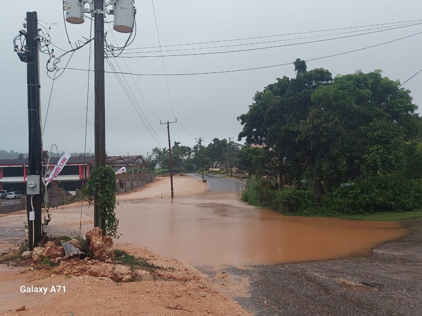
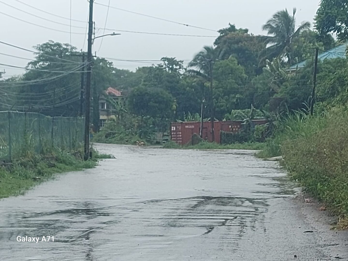
Rafael has caused widespread disruption across the island, with heavy rains leading to swollen rivers and overflowing drainage systems.
LANDSLIDE: Guys Hill on the Tavern Hill to Vanity Fair main road in St. Catherine is completely blocked. Citizens are urged to not venture into this area at this time.
Reports indicate that numerous homes have been inundated, rendering families displaced and in need of emergency assistance. Local authorities are working tirelessly to assess the damage and provide relief, while residents are urged to remain vigilant and heed evacuation orders as conditions continue to evolve
CAUTION: The fording after passing Old Troja at the main road in Troja, St. Catherine is extremely flooded.
As of 7 a.m. Eastern on Tuesday, Rafael was situated approximately 80 miles south-southwest of Montego Bay, located on Jamaica’s northwest coast. The storm is moving northwest at a speed of 13 mph and has maximum sustained winds of 60 mph, as reported by the hurricane center. It is important to note that a storm must have maximum sustained winds of 74 mph to be classified as a hurricane.
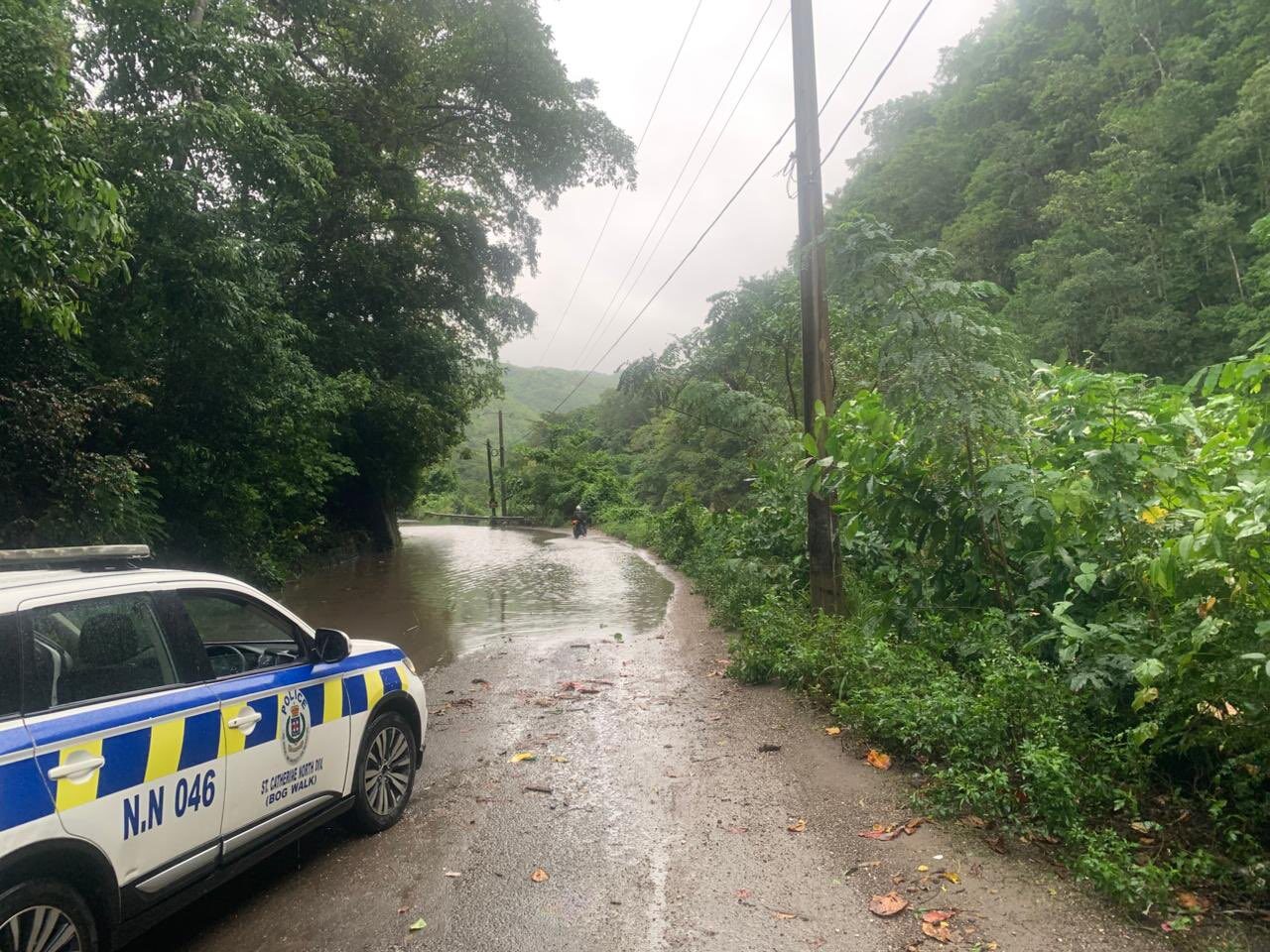
CLOSED: Spanish Town to Bogwalk via Bogwalk Gorge has been closed and experiencing landslides and blocked critical drains. We are urging citizens to not venture into this area at this time.
The hurricane center, based in Miami, indicated that Jamaica is expected to experience the heaviest rainfall on Tuesday. Furthermore, Cuba is likely to encounter a potentially intensified storm by Wednesday. Rainfall is anticipated to be accompanied by hurricane conditions in the Cayman Islands by Tuesday afternoon, and similar conditions may affect western Cuba and the Isle of Youth by Wednesday.
“Heavy rainfall will impact areas of the Western Caribbean through early Thursday, particularly across Jamaica and the Cayman Islands into southern and western portions of Cuba where rainfall totals between 3 to 6 inches are expected,” the hurricane center said Tuesday morning, adding that “isolated higher totals up to 10 inches” could be seen in some parts of Jamaica and Cuba.
